
Web GIS Platform for Map & User Management
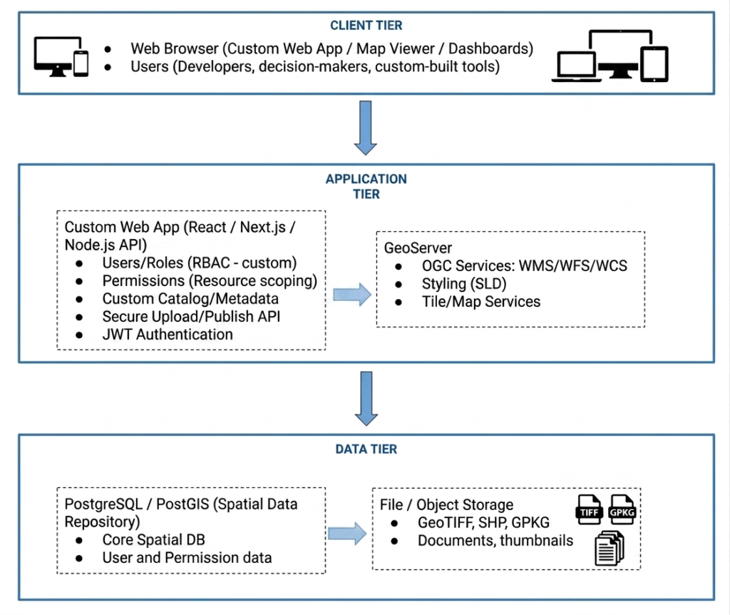
A modern cloud-based Geographic Information System (GIS) platform developed using React, Next.js, Node.js, PostgreSQL/PostGIS, and GeoServer APIs. GeoLokal enables Local Government Units (LGUs) to visualize, manage, analyze, and monitor geospatial datasets through interactive maps, dashboards, and layered spatial analytics.
System Architecture Design
Development Highlights
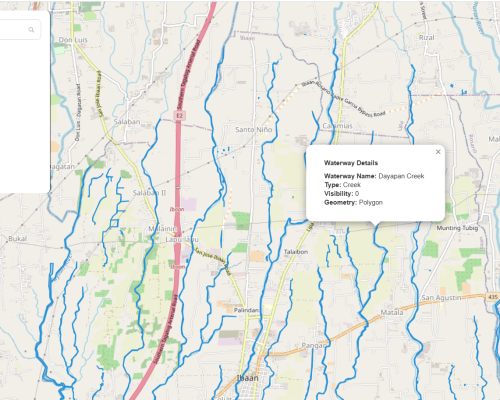
Interactive GIS Mapping
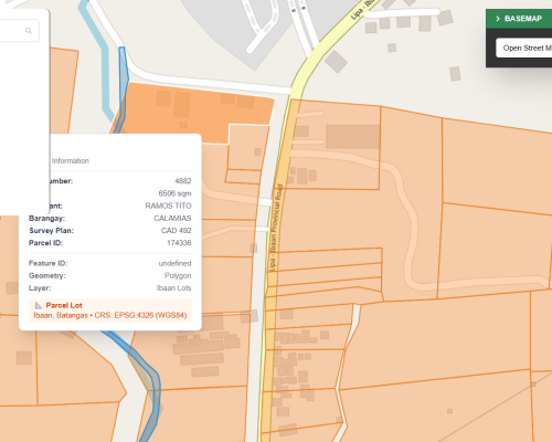
Spatial Analysis & Calculations
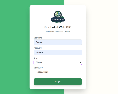
User & Access Management
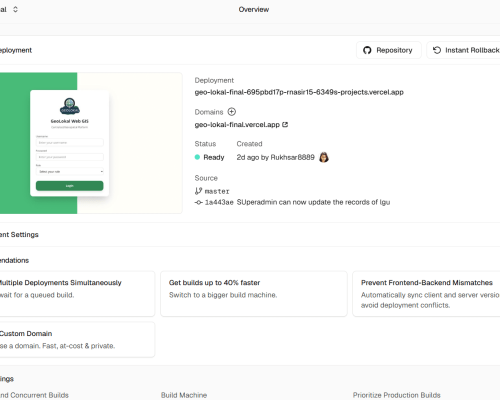
Cloud Infrastructure
Figma Prototypes

Start Project
Let's Design Your Website
From concept to launch, I create websites that are visually stunning, user-friendly, and conversion-focused. Combining modern design principles with seamless functionality, I make sure every interaction delights your visitors and drives results.